
Geographic Information System (GIS) Handbook
Geo-informatics Manual
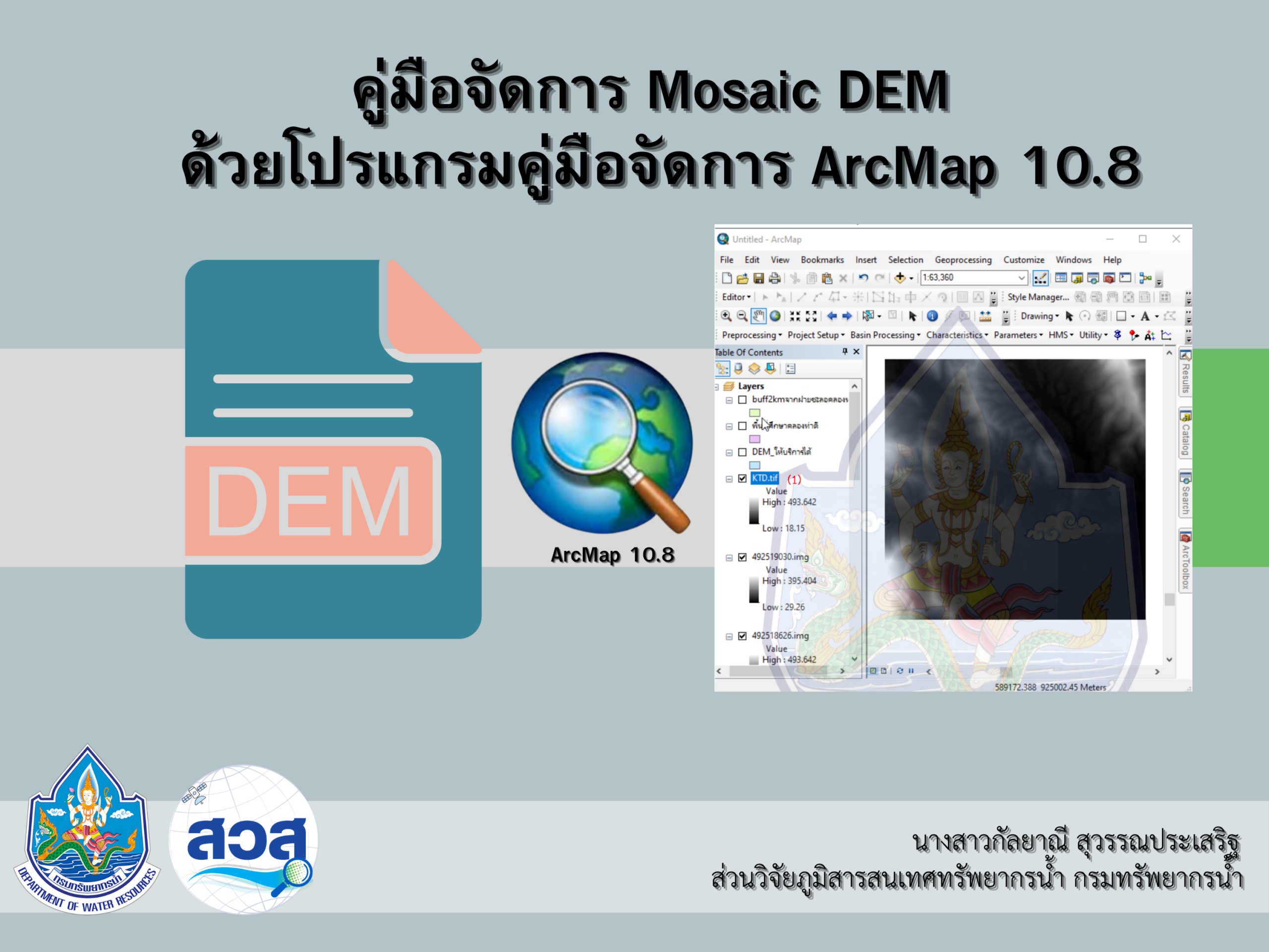 |
Mosaic DEM Management Guide |
|
|
content This document is a guide to using ArcGIS to combine multiple Digital Elevation Models (DEMs) into a single file (Mosaic DEM) for efficient geospatial data analysis and management. The process covers steps from opening the Shape (.shp) file of the study area, selecting and managing various DEM panels, to using the Mosaic To New Raster tool in ArcGIS to merge the DEM panels and save the result as a new file. |
||
|
objective 1. To enable users to accurately and efficiently combine DEM data from multiple maps. 2. To support work related to geospatial data management, such as spatial analysis, planning, natural resource management, and study area administration. 3. To provide users with clear guidelines for using ArcGIS' Mosaic To New Raster function. |
||
|
Download: Mosaic DEM Management Guide |