
Geographic Information System (GIS) Handbook
Geo-informatics Manual
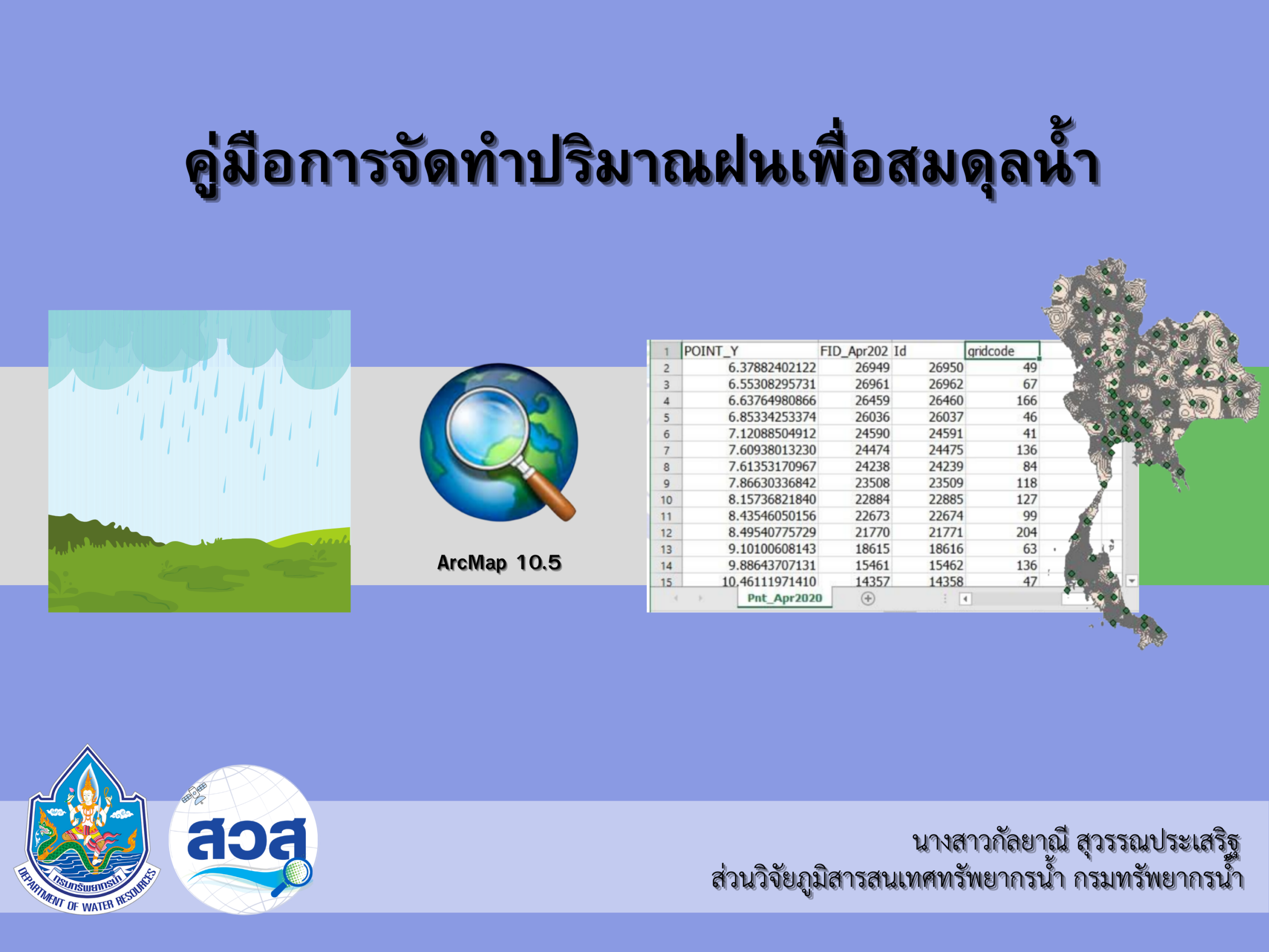 |
A guide to calculating rainfall for water balance assessment using ArcGIS. |
|
|
content 1. Preparing rainfall data. 2. Converting rainfall data. 3. Creating an Excel table.
|
||
|
objective 1. To enable operators to prepare rainfall data in a format suitable for efficient water balance calculations. 2. To support water management planning during the dry and rainy seasons, especially in situations requiring urgent decision-making. 3. To provide a clear standard guideline for preparing information for relevant agencies and personnel.
|
||
|
Download: Guide to calculating rainfall for water balance. |