Geoinformatics research
Geo-informatics Research
|
|
Verifying GSMaP rainfall estimation using Thailand's ground-based rainfall stations. Validation of GSMaP rainfall estimates with local rainfall gauge in Thailand |
|
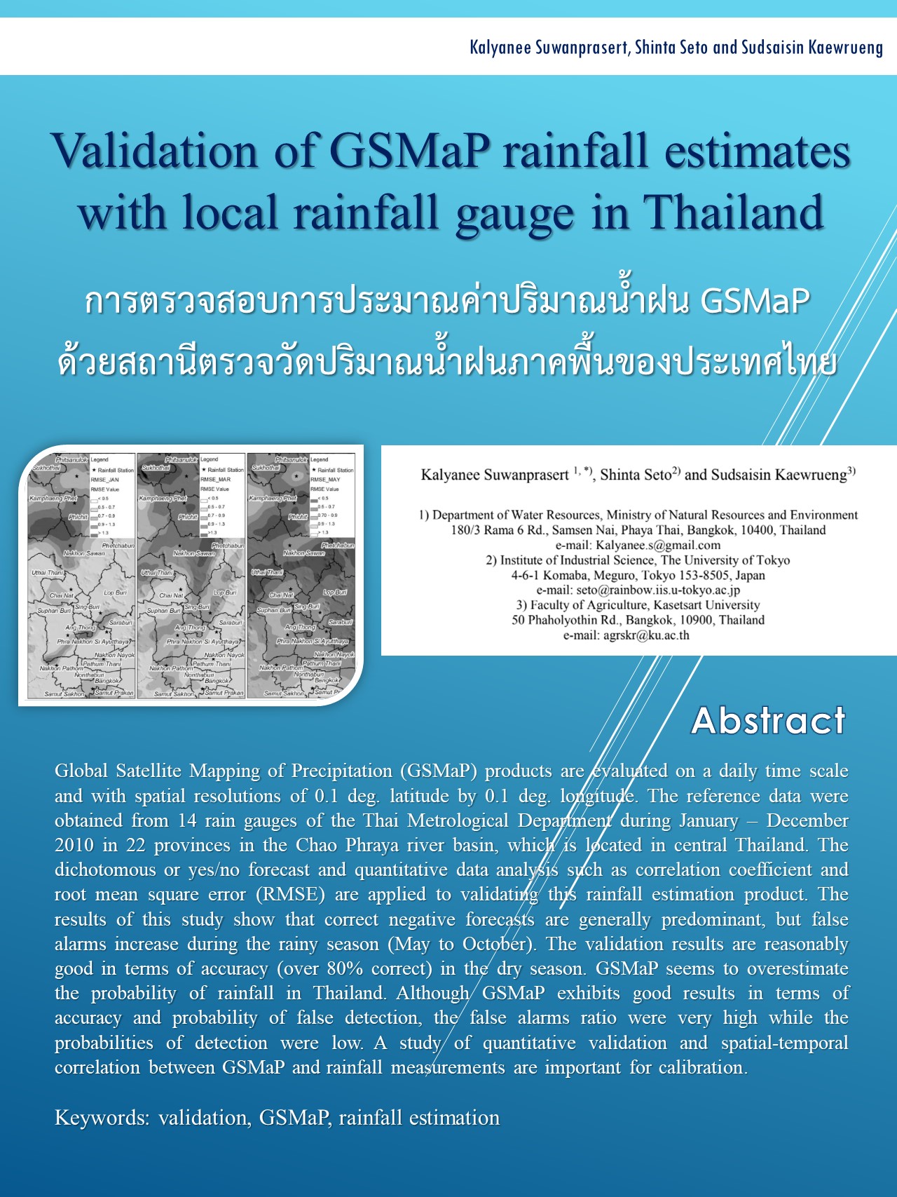
content Global Satellite Mapping of Precipitation (GSMaP) was evaluated on a daily time scale with a spatial resolution of 0.1 degrees latitude and 0.1 degrees longitude. Reference data was obtained from 14 rain gauges of the Royal Thai Metrology Department during January-December 2010 in 22 provinces in the Chao Phraya River basin located in central Thailand. Dichotomy (yes/no) forecasting and quantitative data analysis, such as correlation coefficients and root mean square error (RMSE), were used to verify the accuracy of GSMaP rainfall estimations. The results showed that negative forecasts generally had higher accuracy, but the probability of false alarms increased during the rainy season (May to October). The verification results were quite good in terms of accuracy (over 80%). During the dry season, GSMaP appeared to overestimate the probability of rainfall in Thailand. Although GSMaP showed good results in terms of accuracy and false alarm probability, the false alarm ratio was very high, while the probability of detection was low. Quantitative studies and examination of the spatial and temporal relationship between GSMaP and rainfall measurements are crucial for accuracy calibration. |
|
|
Researcher Ms. Kalayanee Suwanprasert, Senior Policy and Planning Analyst. Department of Water Resources The University of Tokyo (4-6-1 Komaba, Meguro, Tokyo 153-8505, Japan) 2011 |
|
|
Download: Validation of GSMaP rainfall estimates with local rainfall gauge in Thailand |