Geographic Information System (GIS) Handbook
Geo-informatics Manual
|
|
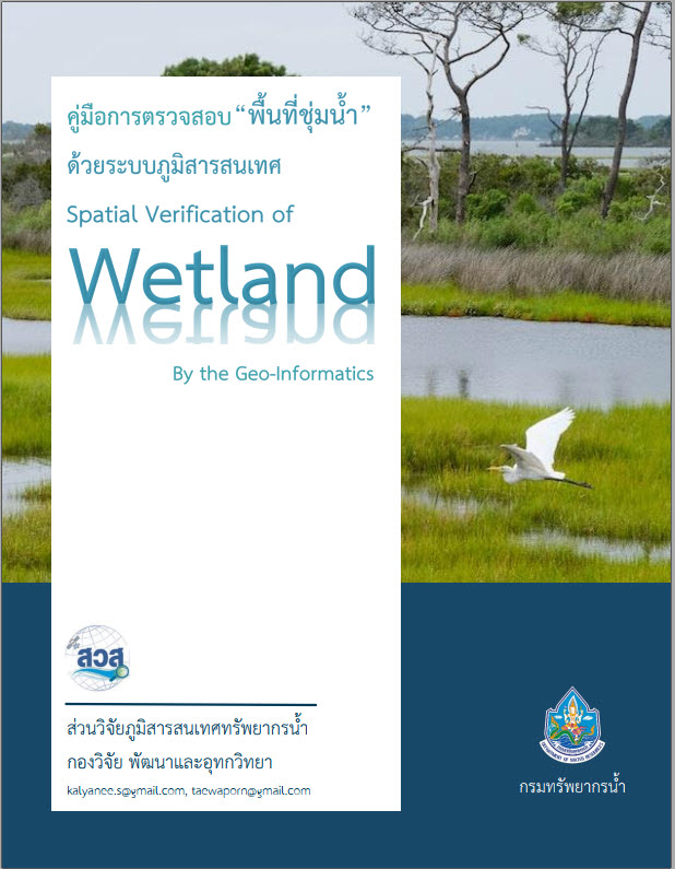
A guide to inspecting "wetlands" using geographic information systems. (Wetland Verification by Geo-informatics Manual) |
|
content Wetland surveying is the process of creating an analysis report of an area that has the potential for development into a particular project. It has the potential to affect wetlands. And what about the ecosystems in the surrounding area? To manage, conserve, and protect water resources, vegetation, and biodiversity in the area, ensuring that natural resources are used correctly, wisely, legally, and with minimal impact, if a project is necessary. |
|
|
objective 1. To manage any project that cuts through, near, or is located within wetlands in a proper and legal manner. 2. To conserve and wisely utilize wetlands, vegetation, and animals or other living organisms in the area. 3. To provide guidelines for conducting spatial wetland surveys using Geographic Information Systems (GIS). |
|
|
Download: A guide to inspecting "wetlands" using geographic information systems. |