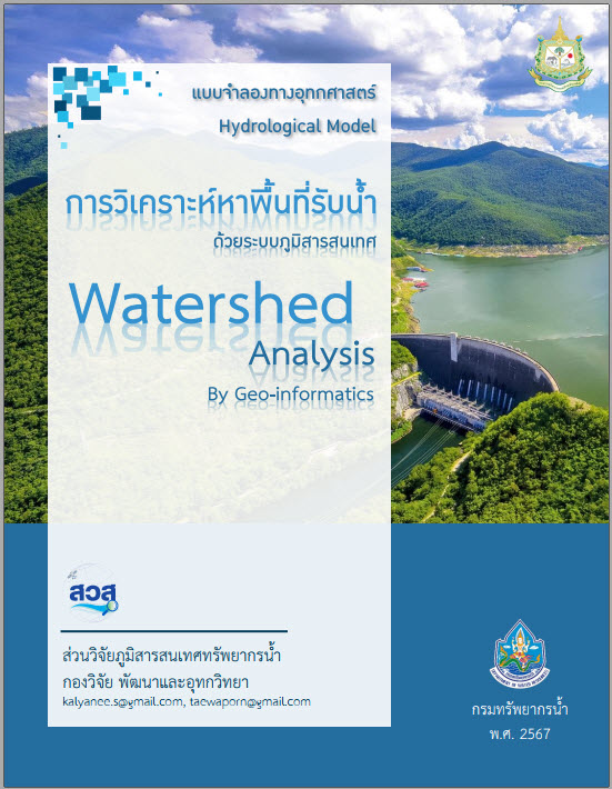
Geographic Information System (GIS) Handbook
Geo-informatics Manual
|
|
Guide to analyzing watershed areas using geographic information systems. (Watershed Analysis by Geoinformatics Manual) |
|
content Finding the water catchment area. This refers to calculating the natural watershed area, where rainwater flows downstream along the watershed divide, forming smaller streams that merge into larger rivers, eventually flowing out of the watershed at the "outlet" or point of analysis. This can be done using geographic information systems (GIS). We can utilize spatial analysis technology from GIS and digital elevation model (DEM) data to accurately and precisely identify the watershed area. |
|
|
objective To provide guidance in calculating watershed areas for study areas or areas where water resource development projects are to be undertaken, based on available data.Digital Elevation Model (DEM) Using a geographic information system (GIS) by employing ArcGIS software. |
|
|
Download: Guide to analyzing watershed areas using geographic information systems. |